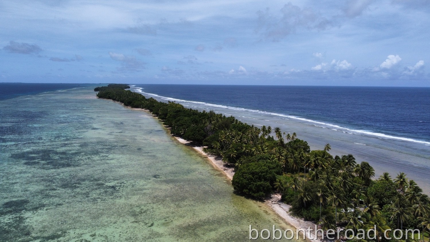
Majuro Atoll has a land area of just 9.7 km². Despite that, Majuro is more than 40 kilometers long.
Even though the number of sights in Majuro is limited, it’s a good idea to rent a car and explore the island on your own. If you want to know what you can see in Majuro, check this out: What to see in Marjuro
How to get from A to B?
Bus
There is a shuttle bus that runs from DUD to Laura in the west. It departs from the parking lot of Hotel Robert Reimers roughly every two hours. The fare is US$2.50 per one-way trip.
Taxi
There are taxis in Majuro, but there are no fixed prices. You should therefore agree on the fare before getting in.
Majuro also uses a ride-sharing system. This means you can hop into taxis that are already carrying passengers.
Rental car
The easiest way to explore Majuro is by rental car.
Where can you rent a car?
There are several local car rental providers in Majuro but none of them is the airport. The international airport is located in Rairok, about 12 kilometers from Majuro.
The following car rental providers are available. None of them have their own website, but you can reach them by email:
- Hotel Robert Reimers (collettereimers@gmail.com)
- Pacific Wheels (pwheels@piimajuro.com)
- MGAS Rentals (hwangkum@hotmail.com)
- ELM Motors (elmmotors@gmail.com)
- Majuro Motors Inc. (atcuato@ntamar.net)
We rented our car, a Toyota Yaris, through Hotel Robert Reimers.
Rental cars are not available in large numbers, so you should arrange a car in advance of your trip.
An International Driving Permit is often required.
Driving in Majuro
In the Marshall Islands, people drive on the right. Speed limits are given in mph. The maximum speed is 40 mph outside towns and 25 mph in town.
In many places, Majuro is only a few meters wide. You drive along a narrow strip between palm trees, with nothing on either side but the seemingly endless ocean.
Road network in Majuro
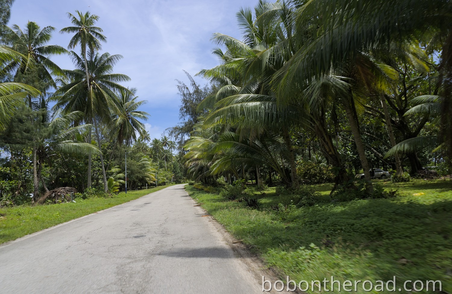
Majuro basically has a single main road: Lagoon Road. It runs from one end of the atoll to the other. From Laura Beach in the far west to Darrit in the east, the distance is about 49 kilometers, and it’s practically impossible to get lost along the way.
When driving, Majuro differs a lot between the area west and east of the airport. Almost the entire population lives in the east in DUD. DUD stands for the three islands Delap, Uliga, and Darrit. Traffic is heavier there and the roads are wider. West of the airport there are only very few cars, and the road becomes narrower.
How much does a rental car cost?
We paid 50 USD per day for a Toyota Yaris. Bigger cars cost more, but in our opinion they are not necessary. Even at a height of 190 cm, a Toyota Yaris is absolutely sufficient.
One liter of fuel costs around 1.75 USD. By the end of the day you probably won’t have driven even 100 kilometers, so fuel costs don’t really matter.
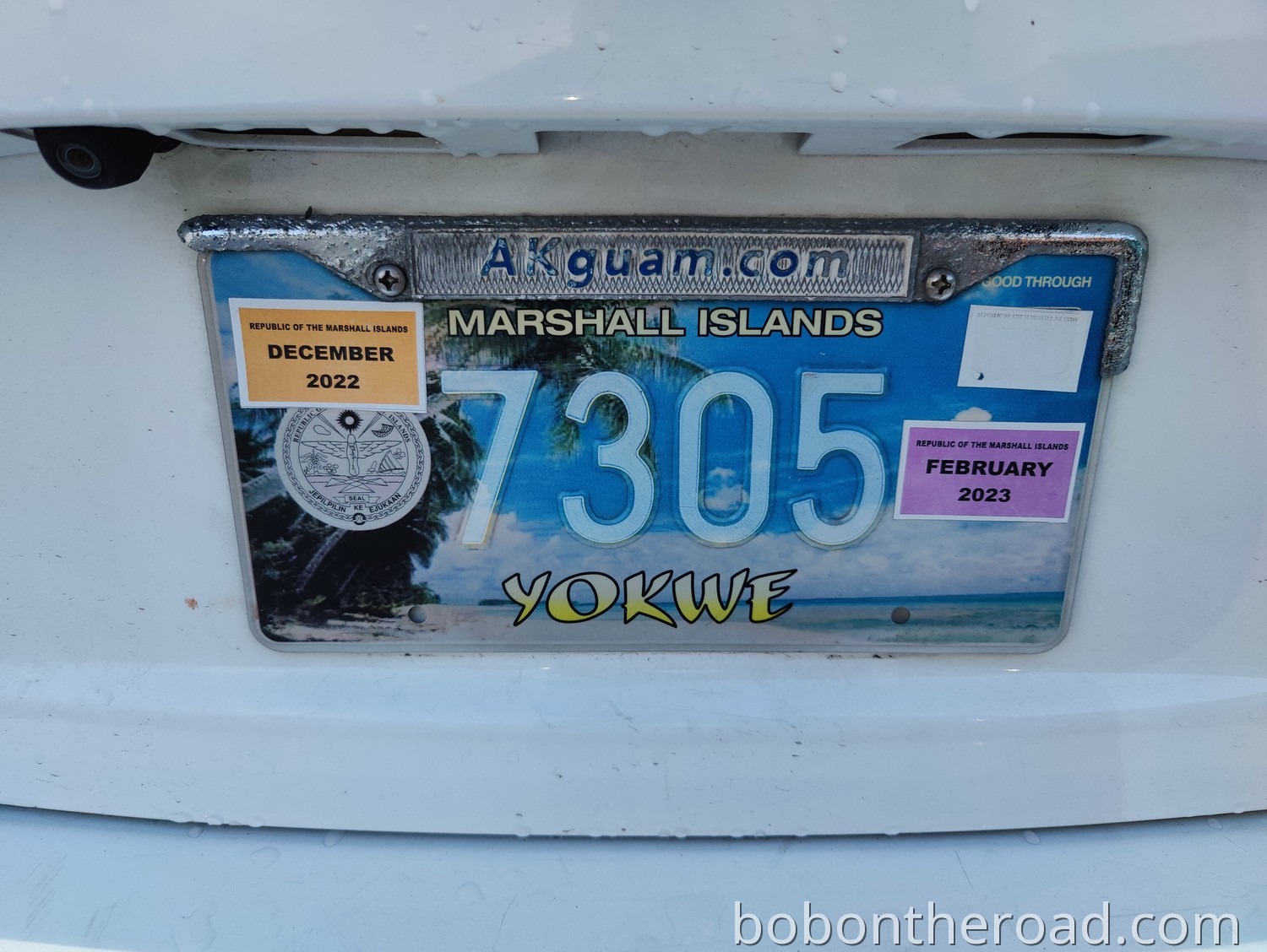
License plate for the collection


Comments
No comments yet. Be the first!
Leave a Comment